
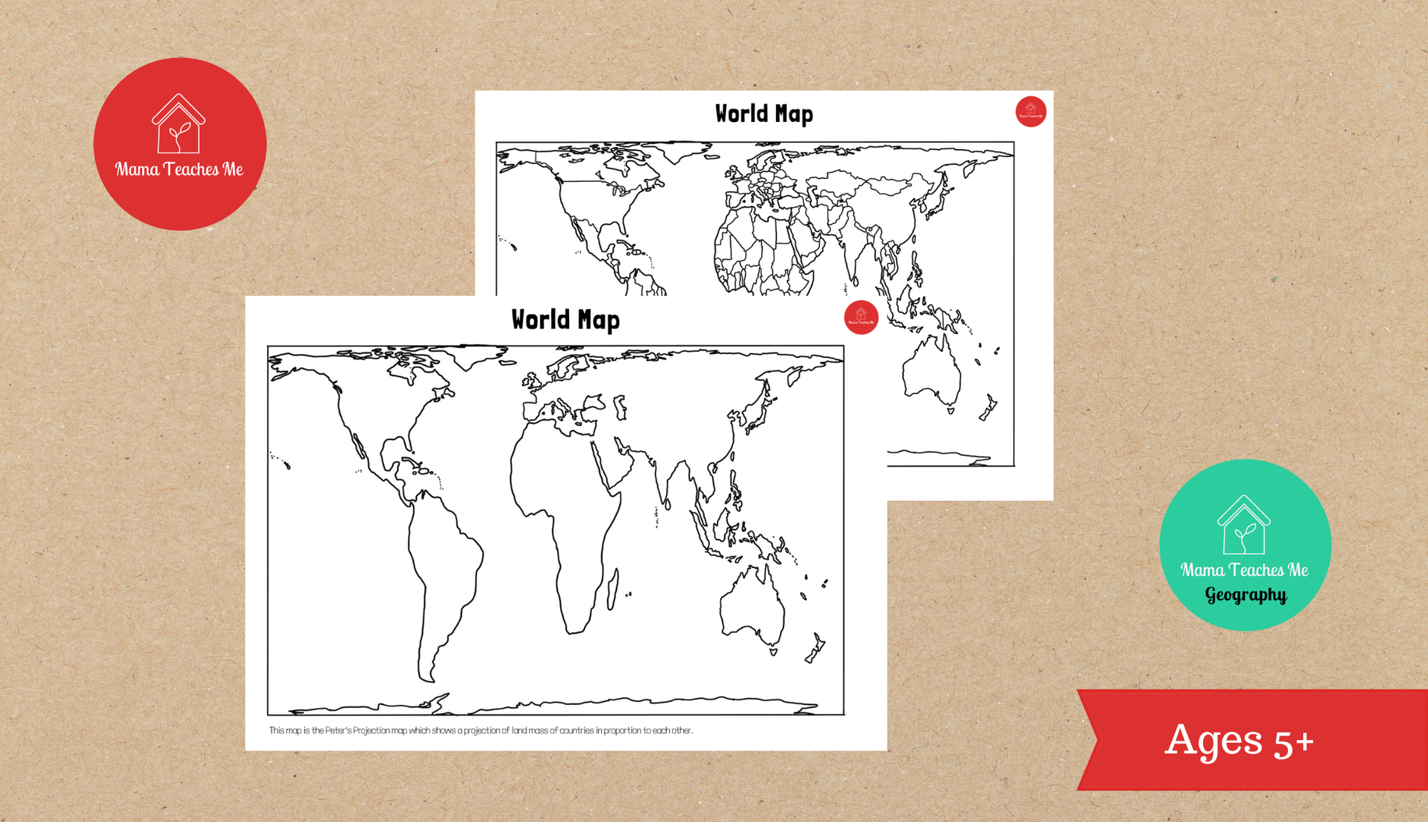
Did you know the world map as we know it (Mercator Map) doesn’t actually portray the countries/continents proportionally by size? Have you noticed how stretched and HUGE Greenland looks? Or how much smaller the continent of Africa looks even though its the second largest continent in the world?
The Peter’s Projection Map (sometimes called the Gall-Peter’s projection) is a projection of the world map where the countries/continents are laid out in proportion to each other, depicting a more accurate size of countries and continents for our children to grow up with. Because yes this really matters!
For more on the importance of this Map Projection – watch this video which goes into more detail.
Download our Peter’s Projection world map for FREE and notice the differences with the maps we usually see. Great way to spark discussion about different map projections too with children as young as 5+
This download contains 1 pdf document:
1 x MTM Geography – World Map (Peter’s Map) (2 pages)